Map of British Columbia

从雨林到落基山:黄金之乡

4-6 天, 828 km (514.5 mi)

沿着专为文化爱好者和户外探险家打造的独特环形路线,发掘黄金之乡(Gold Country)当地宝藏。

Rainforest to Rockies logoOn this journey from the rainforest to the Rockies , follow the beaten path and learn more about British Columbia’s history. Immerse yourself in its history, culture and community and witness its extraordinary natural landscape. Search for local treasures, discover the historical significance of BC’s Gold Rush era, and learn about the Aboriginal people who have thrived in these areas for thousands of years.

部分 1

温哥华至利卢埃特(Lillooet)

狮门大桥(Lions Gate Bridge)| | Kezia Nathe

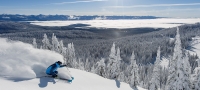
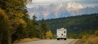
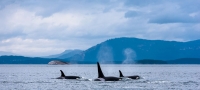
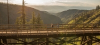
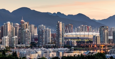
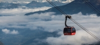
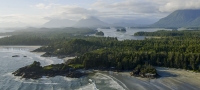
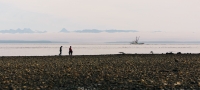
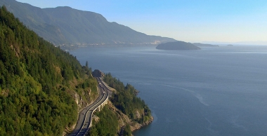
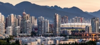
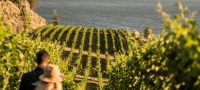
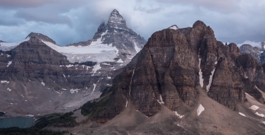
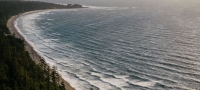
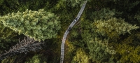
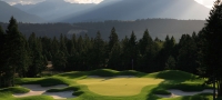
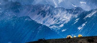
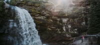
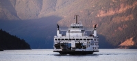
From the city to the countryside, it’s only a short distance away. Depart from Vancouver , a beautiful and culturally vibrant city on the Pacific coast. The brick-paved Seawall Trail surrounds Stanley Park and offers views of the Lions Gate Bridge. In a picturesque landscape, the bridge spans Ballard Inlet – a shallow fjord that is a busy port area and leads to the mountains on Vancouver’s north shore. From here, head north on Sea-to-Sky Highway 99 for stunning views of Howe Sound – a UNESCO-designated biological reserve with stunning ocean views and mountain scenery, as well as the scenery of the surrounding islands.

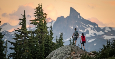
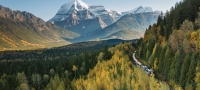
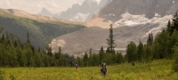
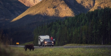
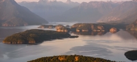
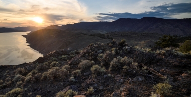
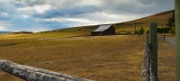
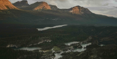
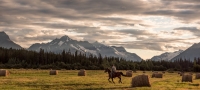
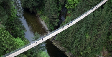
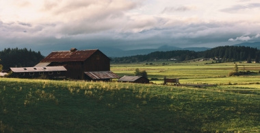
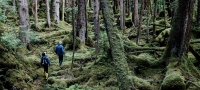
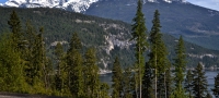
If you love nature, Squamish and Whistler are two relaxing outdoor destinations that surround the farmland of the Pemberton Valley . Duffy Lake Road, which runs northeast past Lillooet Lake, is known not only for its scenery, lakes and wildlife (keep your eyes peeled for goats on the ridge or great blue herons on the lake) , is also widely known for its gold rush history. At that time, gold prospectors and supplies would follow this road and pass through the challenging Cayoosh Pass .

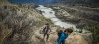
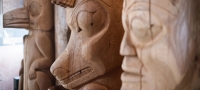
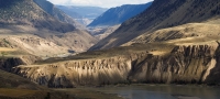
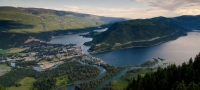
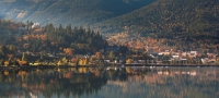
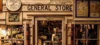
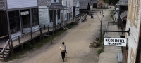
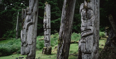
Come to Lillooet , one of the oldest towns in British Columbia . The legacy of the British Columbia Gold Rush that began in 1858 has made this place the focus of people’s attention. Visit the Lillooet Museum to learn about the Fraser River Gold Rush and exploration. You can also see items such as traditional baskets and beadwork made by the St’át’imc people. History buffs can explore deeper on the Golden Miles of History walking tour or go further along the Gold Rush Trail .

部分 2

利卢埃特至阿什克罗夫特(Ashcroft)

临近卡什溪(Cache Creek)的帽溪历史牧场(Hat Creek Ranch) | Blake Jorgenson

This historic area attracted a large number of California gold diggers and prompted the British decision to establish a colony here in 1858. Drive south on Highway 12 for spectacular views of BC’s longest river, the Fraser River, and the sweeping bluffs above it. The Fraser River’s rich gold reserves and convenient transportation conditions gave it a pivotal position during the BC Gold Rush. 

Lytton, like much of the area, has a gold rush history. Furthermore, it speaks to the resilience of contemporary Aboriginal communities and settlers as the land and its people recover from the wildfires that devastated the town. This area is the confluence of the Fraser and Thompson rivers and follows Trans-Canada Highway 1 north to Ashcroft .

部分 3

阿什克罗夫特至普林斯顿(Princeton)

阿什克罗夫特的圣丹斯游客牧场(Sundance Guest Ranch) | 卡里布奇科廷海岸(Chilcotin Coast)/ Michael Bednar

Welcome to ranch country. Take Highway 97C south from Ashcroft, following the Thompson River and its deep canyons and valleys. Soon, on the way to Merritt , the rolling hills, historic ranches, vast grasslands and mirror-like lakes of the Nicola Valley will unfold before your eyes . Merritt is an equestrian destination and the country music capital of Canada.

Continue south on the pasture-rich Highway 5A toward Princeton . Visit the nearby red ocher cliffs, considered sacred by the Upper Similkameen Indian Band, which sit atop the Similkameen Spirit Trail, a national historic site . You can also photograph the town’s bronze sculptures or visit the Swan Lake Sanctuary and Wildlife Sanctuary. 

部分 4

普林斯顿至温哥华

普林斯顿中国岭步道(China Ridge Trails)| 西密卡米恩河谷/ Darren Robinson

On your way back to Vancouver, you’ll find even more opportunities to experience hiking, biking, and historic trails. Drive southwest on scenic Highway 3 in Crossnest into EC Manning Provincial Park , where alpine meadows roll out against the stunning Cascade Mountains Come on. Here, western anemones and yellow avalanche lilies add color to the stunning landscape; you’ll also have the chance to spot bears, beavers and moose around the lake.  

The final stop on the westbound Trans-Canada Highway 1 , the Kettle Valley Trail near Hope, offers an excellent touring experience. Explore the riverside and moss- and pine-covered trails of Coquihalla Canyon Provincial Park along abandoned railroad-turned-hiking and biking trails . The Othello Tunnels were open to traffic from 1914 to 1961 and are now a great photo stop. The tunnel is carved into solid granite and connected by trestles. (Before setting out, please confirm whether the park is open, as extreme weather may affect access.)

After your trip to the gold rush country, you can return to Vancouver, where the vast expanses of the Fraser Valley surrounded by the Coast Mountains will welcome you back.

IMPORTANT: Remember to check admission information and note which parks and areas require advance reservations or have other special requirements.


Header image: Lillooet | Blake Jorgenson

行车路线

Part 1 - 温哥华至利卢埃特(Lillooet)
  • 828 km
  • 4-6 天
Show Map & Driving Directions

关注我们